
What Spanish Fork Neighbors Sources Show
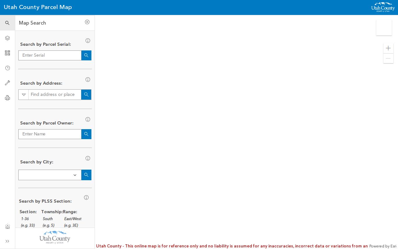
A block search is a map task first. The county parcel viewer can show the selected parcel, adjacent boundaries, owner labels and address points. Spanish Fork GIS downloads add city context. A recorder deed or easement can answer a legal boundary question. A voter record concerns registration and protected fields. Neighborhood Watch provides a way to organize a block, but the research found no official roster of named associations.
| Source | What It Shows About a Block | Access |
|---|---|---|
| Utah County Parcel Map | Parcel lines, adjacent parcels, owner labels, address points, layers | Online viewer |
| Spanish Fork GIS layers | Boundaries, plats, zoning, buildings, utilities, facilities, parks | Download and map route |
| Utah County Recorder | Deeds, easements, legal descriptions, recorded parties | Index, images, counter, mail |
| Voter information | Public registration fields where allowed | Self-check or lawful elections request |
| Neighborhood Watch | Block-organizing channel and safety communication route | City police page |
| Boards and Commissions | Public civic institutions and meeting context | City page |
The absence of an association list is itself a research result. Do not invent an HOA or neighborhood name from a map label.
Move From One Parcel Outward
The county map’s adjacent-parcel method is simple, but the labels need care. Search the known address or serial, zoom to the parcel, then click the parcels around it one at a time. Record the parcel serial, owner label, site address, map date, and layer name. An adjacency relationship describes land that touches or sits near the selected geometry. It does not prove that a person lives there or that a building shares a household.
- Locate the Spanish Fork starting parcel by address or serial.
- Turn on parcel boundaries, address points, and the relevant aerial or base layer.
- Click each adjacent parcel and save its serial, owner label, site address, and query date.
- Use Spanish Fork property-line, plat, zoning, building, and utility layers for physical context.
- Use the recorder for an easement, right-of-way, plat, or legal-description question, then retain the document link.
For a whole named street, hand the search to the address trail in the street directory lookup. The neighbors workflow owns the immediate block and its civic layer.
Situs and Owner Mail Are Separate
Utah County parcel metadata distinguishes physical site fields from owner mailing fields. SITE_STREET_NAME, SITE_STREET_TYPE, SITE_POST_DIR, SITE_STREET_UNIT, SITE_CITY, SITE_STATE, and SITE_ZIP5 describe the parcel. OWN_FULL_ADDRESS, OWN_STREET_ADDRESS, OWN_CITY, OWN_STATE, and OWN_ZIP5 describe mail. A neighboring owner may receive mail in another city or state. A Spanish Fork site ZIP does not establish who occupies the building.
| Owner label | The name supplied by the parcel service for the ownership index. |
|---|---|
| Site address | The physical address point or situs field associated with the parcel. |
| Owner mailing address | The correspondence address, which may be different from the site. |
| Adjacent parcel | A mapped parcel next to the geometry, not a verified neighboring household. |
| Layer date | The date or update context that tells when the map information was current. |
Keep these labels in every block note. A map can be accurate about land and still be silent about the people inside a structure.
Spanish Fork City Layers Add Context
Spanish Fork’s downloadable GIS inventory includes the city boundary, address points, buildings, final and preliminary plats, property lines, zoning, policy and growth boundaries, public facilities, schools, churches, parks, rivers, trails, and water, sewer, storm, and other infrastructure layers. The city says the data is updated nightly, uses State Plane NAD83 Utah Central, and carries warranty and resale or use restrictions.
Turn on only the layer that fits the question. A zoning layer may explain land-use context. A plat may show a subdivision layout. A utility layer can show infrastructure context. A growth boundary is not the same as an annexation boundary. A school or park label is not a membership or resident list. Save the layer name and date with the map export.
Open the Spanish Fork downloadable GIS layers for the city boundary, plats, zoning, and infrastructure inventory.
Recorder Files Answer Boundary Questions
When the issue is a shared line, easement, right-of-way, plat, or prior subdivision, use the Utah County Recorder rather than relying on a screen map. The recorder’s official records run from 1870 to present. Search routes include principal party, serial, entry number and year, book and page, document description, subdivision, city, plat, block, and lot. The document-description form warns that a taxing description is not for legal documents.
A recorded instrument can show parties, legal description, recording date, document type, and an image when available. It does not automatically settle a present physical dispute. Recorder staff do not perform title searches or give legal advice. Ask a qualified professional when the question involves a legal boundary, and keep the recorder document as the source reference.
Block Watch Without a Roster
Spanish Fork Neighborhood Watch supplies an organizing route for a block, apartment area, or business area. The research did not locate an official directory of named neighborhood associations or HOA rosters. That means a neighborhood-watch page can explain how to organize or communicate, but it cannot be used to infer which people belong to a block group.
City Boards and Commissions provide public civic context through bodies such as the Planning Commission, Airport Board, RAP, Seniors, Urban Forestry, and Youth City Council. Meeting and board information describes public institutions, not household membership. A question about a local group belongs with the city or library, not with a guessed private roster.
Boundary History Changes the Block
Spanish Fork’s earliest recorded boundary is 1872. The city records large de-annexations in 1899 and 1904, smaller annexations in 1952, 1961, and 1964, later growth in the late 1960s and 1970s, and a 2007 map for the current boundary. A historic parcel or civic source can therefore use Spanish Fork as a place name without matching today’s block.
The city general plan separates an annexation policy boundary from a growth-management boundary. Use the annexation page for municipal history and GIS boundary layers for map context. Use the recorder for a legal description, plat, or easement. A ZIP or nearby postal city does not resolve a municipal boundary question.
Official Maps Versus Quick Tools
Official parcel and city sources are strongest for land, recorded instruments, and public civic context. Commercial neighbor tools may offer convenience, but their data source, update date, and lawful-use terms can be unclear. A quick result should never outrank a county serial, recorder image, city layer date, or custodian response.
| Question | Best official lead | What Still Needs Checking |
|---|---|---|
| Which parcels touch? | County GIS parcel map | Map date, geometry, survey or plat context |
| Who is indexed as owner? | Assessor and recorder | Situs versus mailing, legal description, current date |
| What is on the block? | City GIS layers | Layer purpose, update, disclaimer, scale |
| How can a block organize? | Neighborhood Watch | No official membership roster located |
Use the smallest source that answers the question. More datasets do not create more certainty when their categories differ.
Neighbors Are Not an Occupant List
Voter records have privacy and at-risk protections. Safe at Home can provide a substitute address for eligible participants. DMV data is limited by federal law. Utilities do not provide a general public list of customers. An owner label, parcel address, court filing, or business principal record cannot be turned into a claim about who is inside a nearby building.
Lawful use. Use Spanish Fork neighbor research for personal, civic, property, safety, or historical questions. Do not use it to stalk, harass, intimidate, expose a protected address, or repeatedly contact anyone.
If a record is withheld, private, sealed, not digitized, or outside a portal’s scope, leave it that way. Do not combine sources to defeat the restriction. For a current documented question, contact the proper custodian or use a narrow GRAMA request under Utah Code Title 63G, Chapter 2.
Save a Block Research Log
For each parcel, save the address query, serial, owner label, site and mailing fields, map layer, query date, export, and source URL. For each recorder result, save the entry or document number, legal description, recording date, and image link. For each civic source, note whether it is a public page, organizing channel, or meeting record. This makes a block map auditable and prevents a nearby clue from becoming an unsupported identity claim.
Spanish Fork’s growth also creates new-address gaps. The city’s July 1, 2026 inventory names Juniper Ridge, Meadow Creek Ridge, Quiet Valley, River Run, Escala, and other developments, with 231 vacant single-family lots. New parcels may appear first in plats, permits, assessor serials, or GIS layers and not in older directories. Record that absence as an age-of-development issue, not a statement about a person.