
Sources for Past Spanish Fork Residents
One address can have several trails. A deed shows parties to a recorded instrument. An assessor row shows a parcel relationship. A city directory shows a printed name and address in a publication year. A census or obituary can add family context. A Sanborn map can locate a property or building at a particular time. The best house history keeps those source types distinct.
| Source | Years It Covers | Where Held | What It Shows |
|---|---|---|---|
| Utah County recorder | 1870–present | Books, microfilm, scans, web index | Recorded parties, legal descriptions, dates, images |
| Handwritten recorder index | 1870–January 1978 | Utah County Recorder | Older alphabetical party route |
| Spanish Fork municipal real-property files | 1936–2019 | Utah State Archives | City-held property records |
| Municipal deeds and easements | 1979–2019 / 1973–2019 | Utah State Archives | City instruments and right-of-way leads |
| Directories and newspapers | 1891 lead; late 1800s–present regional access | Libraries and digital collections | Printed placement, events, business, family leads |
| Sanborn case lead | 1890 specific item | Archives feature and future catalog search | Map clue for 300 South and 100 East |
The table includes gaps. The exact continuous Spanish Fork directory run, direct Sanborn image, and a Spanish Fork-specific house-history guide were not located.
Follow the Utah County Deed Chain
Begin in the Utah County Parcel Map with the current address or owner. Capture the serial, subdivision, plat or lot, legal description, site ZIP, owner mailing ZIP, and the query date. Use the recorder’s name search in both directions. A grantor transfers an interest. A grantee receives an interest. Searching only one side can miss the prior link.
- Locate the current parcel and copy its serial and legal description.
- Run the recorder name or serial search for the present owner and record every entry number and image link.
- Move backward through each grantor and forward through each grantee, checking recording date, document type, parties, serial, and legal description.
- Use entry, book-page, document-description, subdivision, or city-plat-block-lot forms when a name search stops.
- Compare each step with the assessor, map, plat, tax, easement, and Archives record before naming a past owner.
- Grantor
- The party shown as giving or transferring an interest in the instrument.
- Grantee
- The party shown as receiving the interest.
- Chain of title
- The linked sequence of recorded interests for a parcel.
- Legal description
- The formal land description in the instrument, stronger than a casual street label.
Utah County official records run from 1870 to present. The recorder’s alphabetical index changes from handwritten through January 1978 to computerized from January 1978 forward. Abstract records have a stated overlap between older handwritten or typed material and online computerized material.
Recorder Era Changes Matter
The recorder’s recording search takes Entry Number, Entry Year, Start Date, and End Date, with dates in MM/DD/YYYY format. Other county forms search an entry number and year, book and page, serial and entry, document image, or a subdivision, city, plat, block, and lot description. The document-description page warns that a taxing description is not for legal documents.
Online images or index copies may be available, while office, certified, or plat charges follow county and state schedules. The county fee research lists examples such as $1 land-record copies and $2 ownership plats, but current amounts should be checked before use. Recorder staff do not perform title searches or give legal advice. FamilySearch’s Utah County deed and mining collection can provide another index and image route, subject to account or image restrictions.
Use the Utah County owner-name form to switch among All Records, Current Records Only, and Never Valid Only.
Archives Fill City-Level Gaps
Utah Archives finding aids identify Spanish Fork administrative records from 1983 to 2013, ordinances from 1965 to 1994 and codified ordinances from 1885 to 1893, real-property files from 1936 to 2019, deeds from 1979 to 2019, easements and right-of-way from 1973 to 2019, planning records from 1974 to 2019, cemetery financial records from 1906 to 2022, and justice-court dockets from 1866 to 2022. The city recorder’s incorporation series reaches from 1855 to 2000.
An assessment-roll lead identifies Spanish Fork tax-assessment material from 1875 through 1879, including a series description concerned with owner names, legal descriptions, and personal property. Request a series, volume, date, and locality. Some materials may be offsite, fragile, restricted, or not digitized. Archives is a route around a missing city web index, not a way around access rules.
The Utah State Archives record list is the starting point for municipal series and finding aids.

Pair Households With Directory Years
Previous residents are not always the people named in deeds. Owners can differ from the household printed in a directory. Use a directory year to locate a name and street, then pair it with a nearby census, newspaper, obituary, cemetery, probate, or tax source. The Spanish Fork section of the R.L. Polk Provo City and Utah County scan appears on pages 241 through 252. The exact continuous run is not confirmed.
- Capture the printed title, publisher, year, page, name, address, occupation, and abbreviation marks.
- Check the next available directory or a nearby edition for continuity, spelling changes, household marks, and street changes.
- Compare the printed address with the parcel serial, plat, legal description, and recorder chain.
- Use the Provo Library obituary index, burial search, newspaper lead, or eligible vital record to test a date or family connection.
- Mark every missing year and every conclusion that remains only a lead.
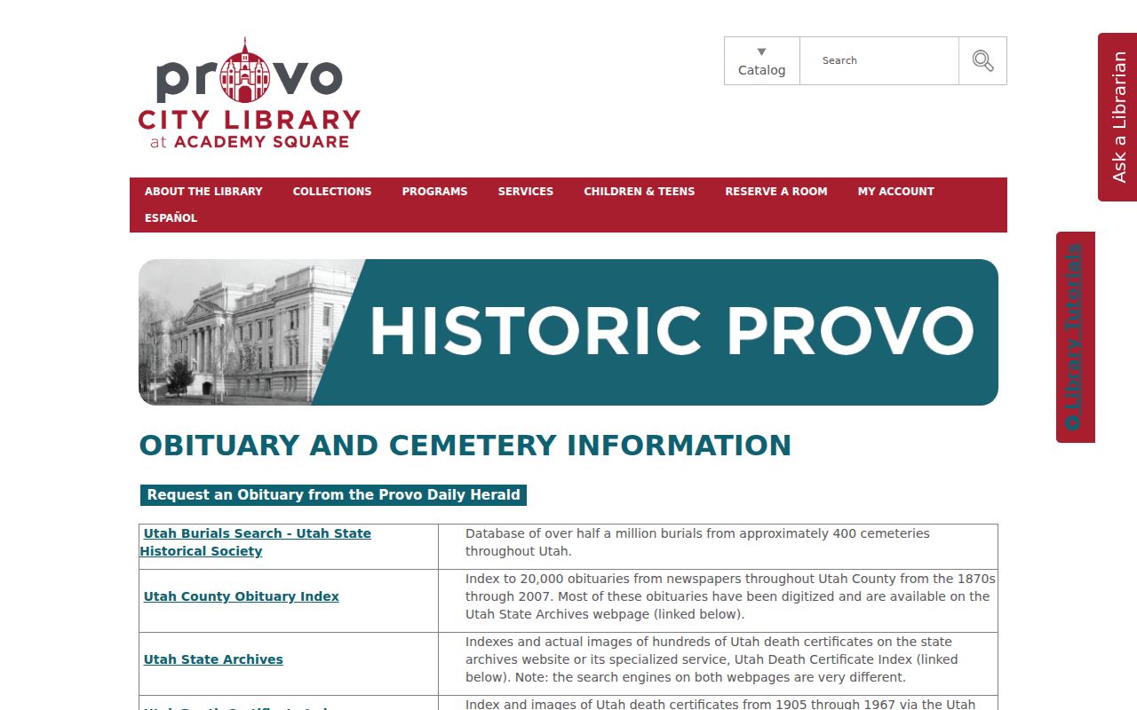
The Provo Library Utah County Obituary Index has about 20,000 entries from the 1870s through 2007. An obituary can point to a family or death date, but it is not a certified vital record.
Spanish Fork Address Changes
Main Street was originally planned at 300 East and moved west because of the railroad, according to the February 2005 city newsletter. The same source dates paving to August 1920. Spanish Fork’s annexation record begins with an 1872 boundary, then records de-annexations in 1899 and 1904, smaller annexations in 1952, 1961, and 1964, later growth in the late 1960s and 1970s, and a 2007 current-boundary map.
No formal citywide street-renumbering or conversion guide was located. When a directory, Sanborn map, deed, or tax roll does not match a modern number, use legal description, plat, serial, map coordinate, and historic place label. Preserve “Palmyra” or “Spanish Fork” as printed until the boundary and date are checked. The Archives case study discussed in the next section supplies the specific map and probate lead.
The 1890 Corner Case
The Utah Archives article identifies an 1890 Sanborn map depicting Alex Bankhead’s property at the northwest corner of 300 South and 100 East. It also points to Fourth District probate material from 1902 describing estate property and heirs, plus Spanish Fork tax-assessment rolls from 1875 through 1879. That combination is a model for house history: map, probate, tax, recorder, and current parcel evidence can be read together.
The direct digitized map, complete probate series number, and current parcel crosswalk remain open research gaps. Do not write those missing pieces as facts. Search the Archives finding aid, inspect the assessment volume, compare the recorder abstract and legal description, and then line up current GIS and historic layers.
Build a Past-Resident Record Card
Use a small record card for every previous resident or owner lead. The card should name the source title or series, page or entry, date, locality, parcel or legal description, printed person or party role, document type, and linked prior or later record. Add the query date, image link, and any restriction or illegible text.
| Identity | Printed name, grantor, grantee, directory entry, decedent, or other source term. |
|---|---|
| Placement | Address, parcel, legal description, business, grave, or court locality as the source states it. |
| Substance | Deed, easement, assessment, directory, newspaper, obituary, probate, or map. |
| Date | Recording date, execution date, publication year, event date, or residence period, kept separate. |
| Limits | Missing volume, restricted image, boundary issue, spelling variant, or noncontinuous run. |
That format prevents a mailing address from becoming an occupancy claim and prevents a directory entry from becoming ownership proof.
Past Residents Have Privacy Limits
Historical research should stay historical. Do not use a past name or address to expose a living person, bypass a privacy flag, or make a claim about someone’s present location. Voter, vital, court, DMV, and Safe at Home records each have restrictions. A missing entry can mean a gap, a private record, a spelling issue, a different custodian, or a source that was never digitized.
Lawful use. Use previous-resident records for house history, genealogy, civic history, and a defined personal record question. Do not use them to stalk, harass, intimidate, or repeatedly contact a person.
For a current parcel chain, the Spanish Fork street directory route owns the modern address records. For the historical shelf itself, use the city directory collections and retain the printed page.